
 Reserve Now
Waterfalls & scenic drives
Do Go Chasing
Waterfalls...
Use Piney Point as your home base for waterfalls, overlooks and unforgettable East Tennessee day trips.
Use each directions link to review the current driving route, then check trail and access conditions before leaving.
Closest outings
The waterfall destinations nearest Piney Point—a natural place to begin exploring.
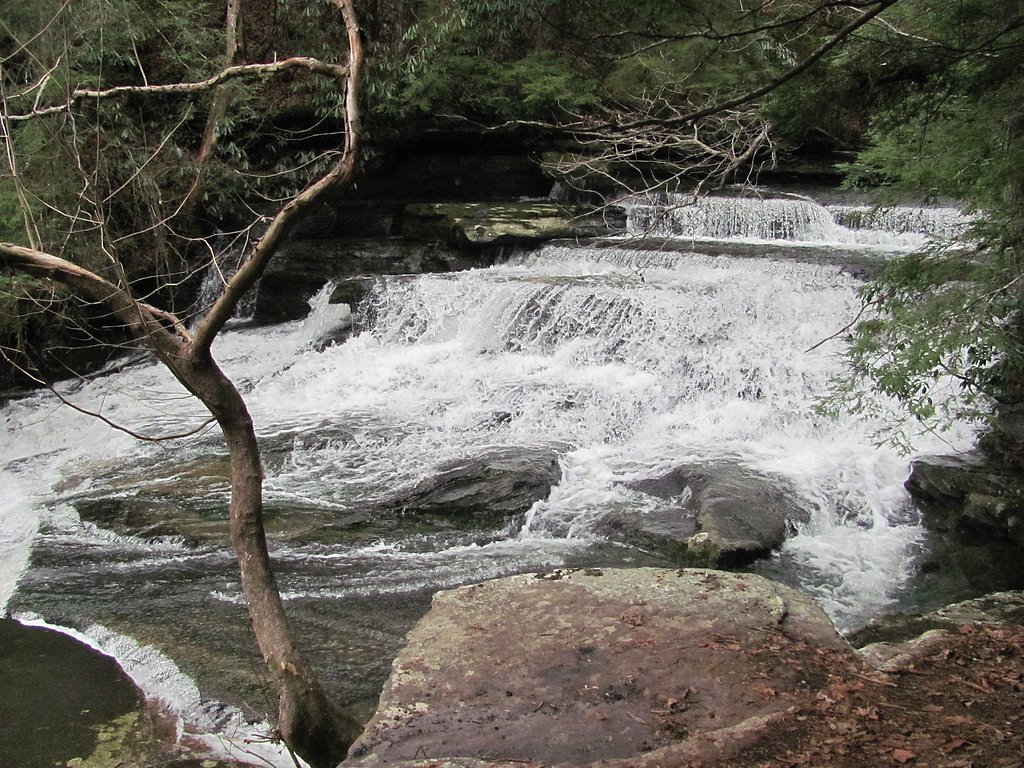
Lower Piney Falls
Open driving directions →
Stinging Fork Falls State Natural Area
Open driving directions →
Ozone Falls
Open driving directions →Cumberland Plateau & Fall Creek Falls area
A cluster of falls that can anchor a longer day on the plateau.

Hilliard Falls
Open driving directions →
Laurel–Snow State Natural Area
Open driving directions →
Cane Creek Falls
Open driving directions →Longer scenic day trips
Farther-flung destinations for guests ready to wander deeper into East Tennessee.
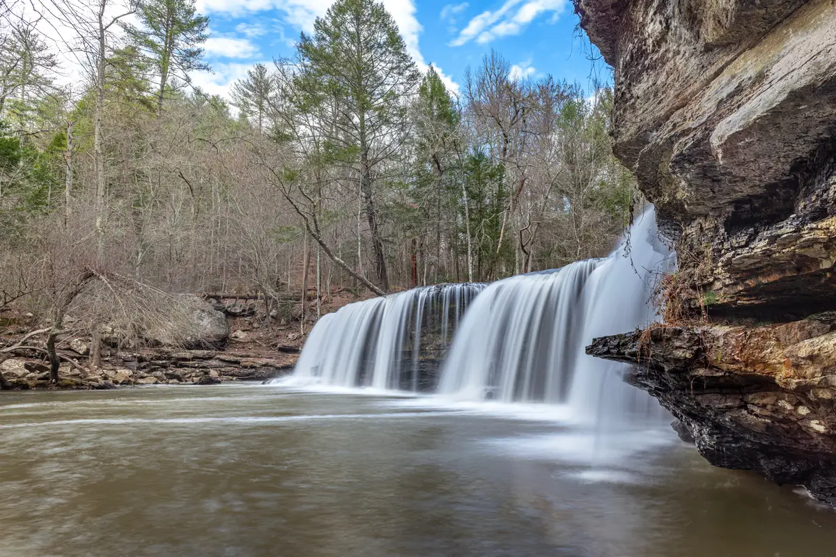
Potter's Falls
Open driving directions →
Bullet Creek Falls
Open driving directions →
Benton Falls
Open driving directions →Before you wander
A beautiful drive still deserves a little planning.
Check conditions
Weather, water flow, trail access and seasonal closures can change quickly.
Download your route
Cell service can be unreliable in mountain and rural areas. Save directions before leaving.
Know the walk
Review trail length, terrain, parking and accessibility for everyone in your group.
Leave it beautiful
Respect posted rules, private property and natural areas, and bring everything back with you.
A note about travel time and time zones: Mountain roads, trailheads and seasonal access can make driving distance very different from straight-line distance. Some waterfall trips—including Ozone Falls—cross into the Central Time Zone, which is one hour behind Piney Point. Open the current route before leaving, confirm local hours and allow extra daylight for unfamiliar roads.